Topography and geospatial data
Processing and organizing topographic data, working from surveys and preparing map and plan bases.


 Request a quote
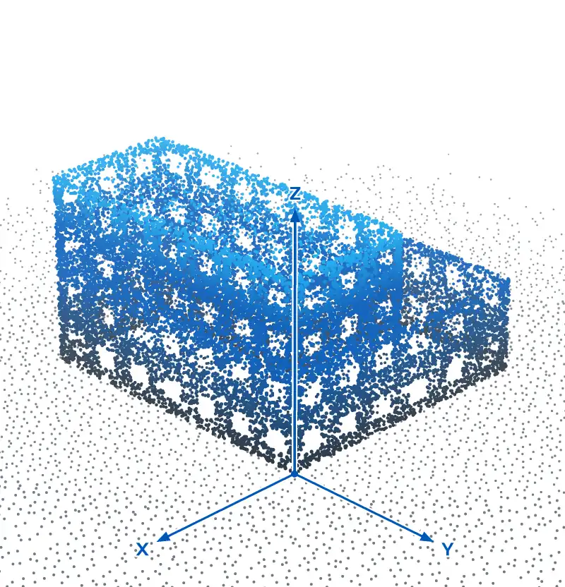
Sample view
Drag to rotate
One sample building, five views. Pick the one that matches your needs.
Using your point clouds to produce 2D and 3D documents, after checking their quality.
You send: Your point clouds and your instructions.
You receive: A filtered cloud, or the 2D and 3D documents drawn from it.
Request a quote for this serviceProcessing and organizing your topographic data, working from your surveys, preparing map and plan bases.
You send: Your surveys and field data, with their coordinate system.
You receive: Topographic plans, street survey plans (PCRS), track layout plans.
Request a quote for this serviceProducing and updating your technical plans, site plans and details, to your instructions.
You send: Surveys, sketches, paper or digital plans, templates.
You receive: Clean 2D plans, in the formats and conventions you set.
Request a quote for this serviceA building seen front-on, then cut wherever you ask.
You send: A point cloud, a survey or the building's plans.
You receive: Drawn elevations and sections, at the locations you specify.
Request a quote for this serviceThree-dimensional representations, modeled from the data and documents you provide.
You send: A point cloud, plans, elevations and sections.
You receive: A 3D digital model, at the agreed level of detail.
Request a quote for this serviceMadagascar, for local and international clients. Deliverables in the agreed formats: DWG, PDF or others.
Examples of work, from the topographic plan to the digital model.
Processing and organizing topographic data, working from surveys and preparing map and plan bases.
Producing and updating technical plans, site plans, topographic plans, elevations, sections and details, to the client's instructions.


Using point clouds to produce 2D and 3D documents, after first checking that the data is of good quality and usable.


Preparing three-dimensional representations and modeling from the data and documents provided.


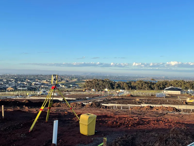
Extra production capacity, one-off or regular: file processing, drawing, formatting and technical support. Remotely, to your specifications and the agreed formats.
Describe what I want to outsourceProducing plans, cleaning up drawings and CAD support.
Processing topographic data and related documents.
Plans, elevations, sections and modeling bases.
Technical documents and extra production capacity.
Remote subcontracting to agreed specifications and formats.
Every job is built around clear communication and validation stages, so that it meets the client's technical requirements.
Source files, instructions, references, coordinate system and requested deadline.
Checking the available data, identifying what is missing, clarifying the scope.
Carrying out the work to the graphic conventions, templates and methods provided.
Checking the consistency of the drawing, layers, text, units and requested items.
Sending the files in the agreed formats, with the planned feedback taken into account.
Depending on the needs of each job, deliverables are prepared in the formats agreed with the client, for example DWG, PDF or other suitable formats. Coordinate systems, units, scales, layers and title block conventions are set at the start of each project.
GeoTech XYZ offers technical services in geomatics, topography, computer-aided drafting and the production of 2D and 3D deliverables. Our identity rests on the X, Y and Z coordinates: the dimensions that structure how space is represented.
Our aim is to support engineering firms, land surveying practices, architects, construction companies and other professionals with their technical work, either directly or as a subcontractor.
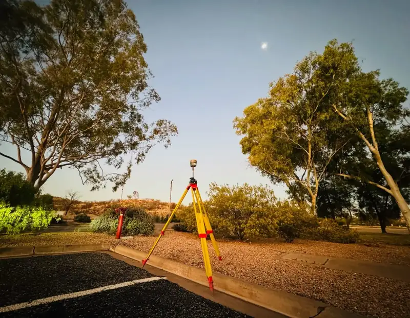
To become a reliable partner for producing technical data and documents, with room to grow into new services.
Understanding instructions, respecting the client's standards, organizing communication and delivering clear, usable files.
Care taken with data, coordinates and details.
Respect for instructions, agreed deadlines and requested formats.
Able to work with the client's methods and templates.
Respect for the data and documents entrusted to us.
Tell us what you have and what you need, and we'll reply with a quote.